16 April 2025
A lengthy minor traverse
Uto Peninsula from Ishiuchi-Dam to Uto Station
Today I walked the length of the Uto peninsula. There are a couple of noted very small mountains along the way, Odake and Yudake, but there is almost no view and the mountains are not really the point.
It is a bit of a strange 'hike', you start on an unused road, then a trail, then a very rarely used road, more unused road, more trail, more unused road etc.
A map is probably a good idea as there are a few turns, but there are also signs specifically for people completing the Uto Peninsula traverse.
Now for the stats -
26.76km - sounds impressive but read on
6 hours 36 minutes
38,900 steps
912m vertical ascent
1,477 calories burned
That last number is the interesting one, 2 days ago the volcano in the hail hike burnt more calories in under 5 hours.
Photos today are a bit bland due to no view and when there was, smoke.
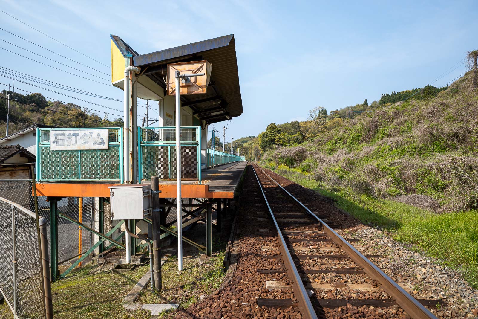
Here is Ishiuchi-Dam station. There are direct trains from Kumamoto station and it is only about 45 minutes away, however despite being a JR line, IC card does not work beyond Uto Station, so buy a paper ticket. There is a toilet at this station, but there is no vending machine.
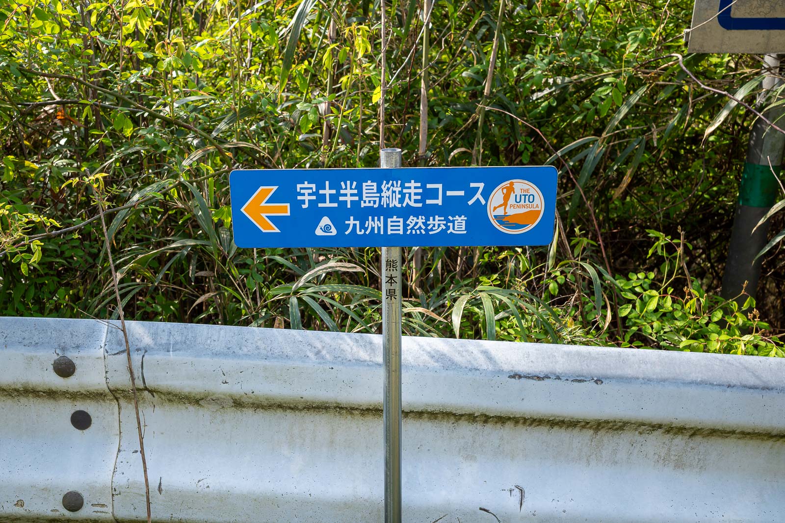
These are the signs you can follow all day if you wish. I believe there is a trail running event at some point.
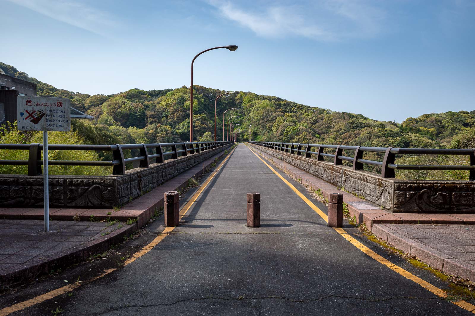
Here is the dam. Nice picture!
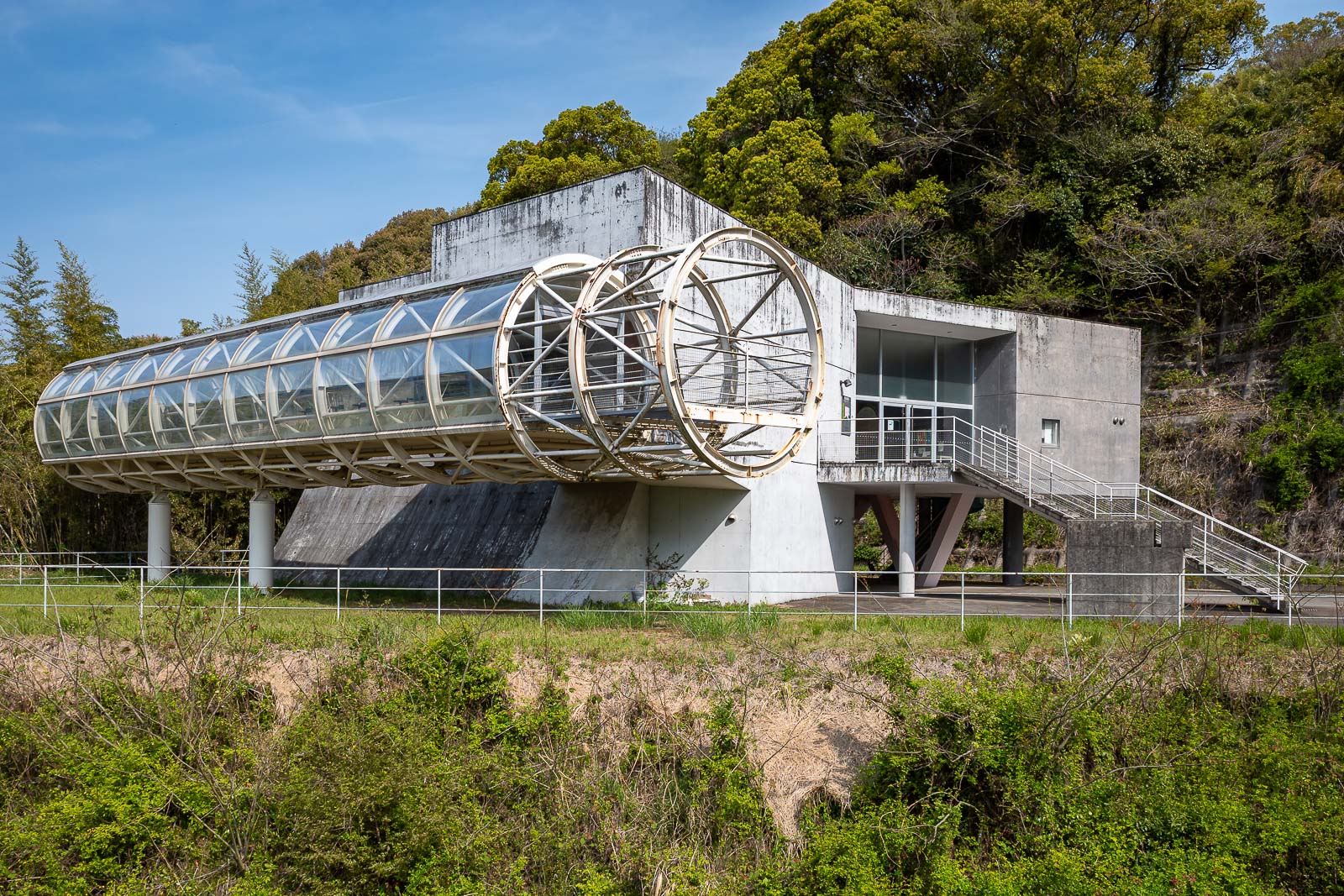
This used to be a dam observation building, now abandoned. A lot of what you will see today is abandoned.
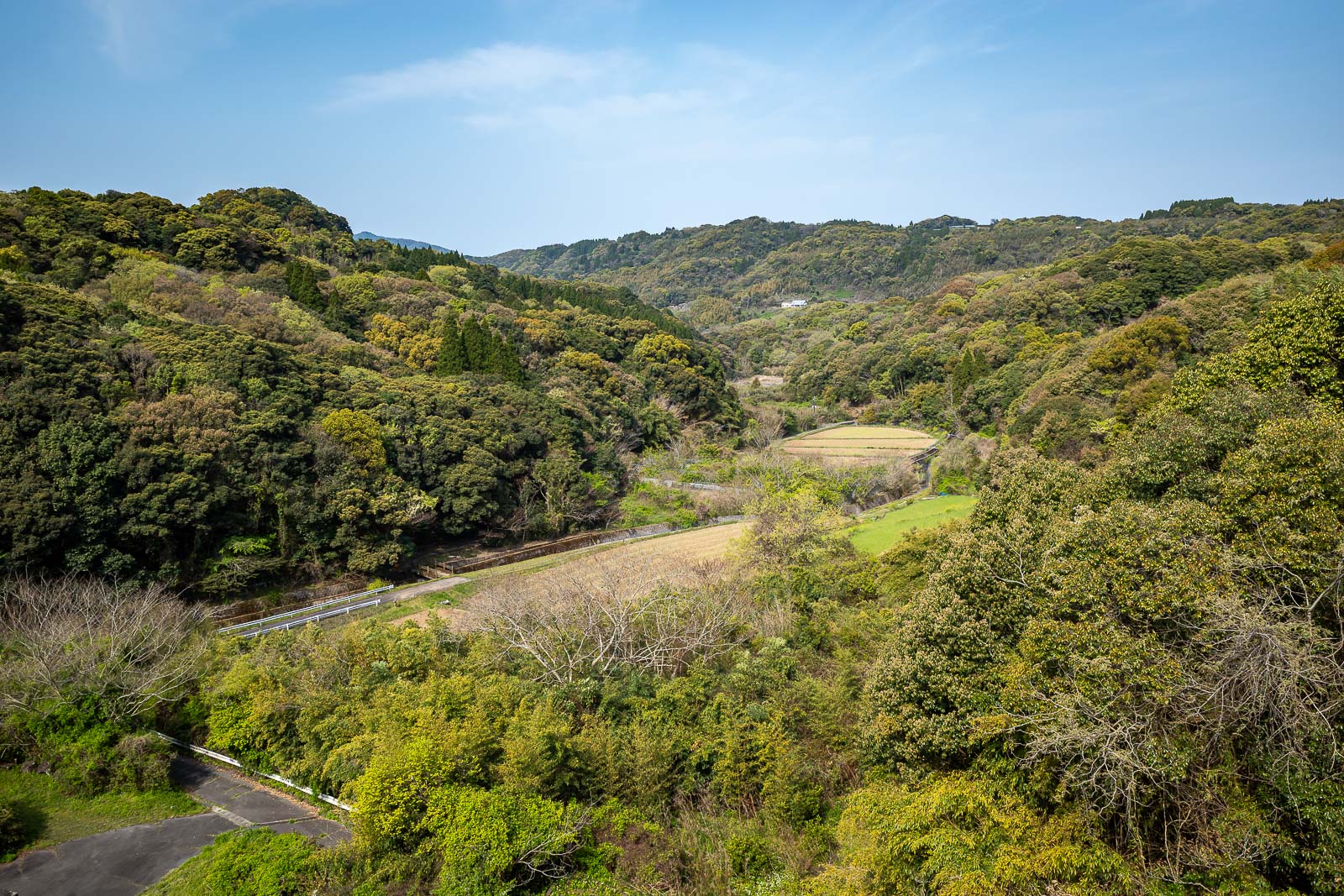
Below the dam is mainly farmland, I guess they never let much water out.
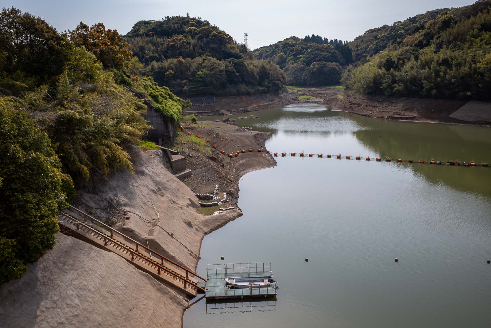
And since there is almost no water in the dam, I now know why they do not need to let much out.
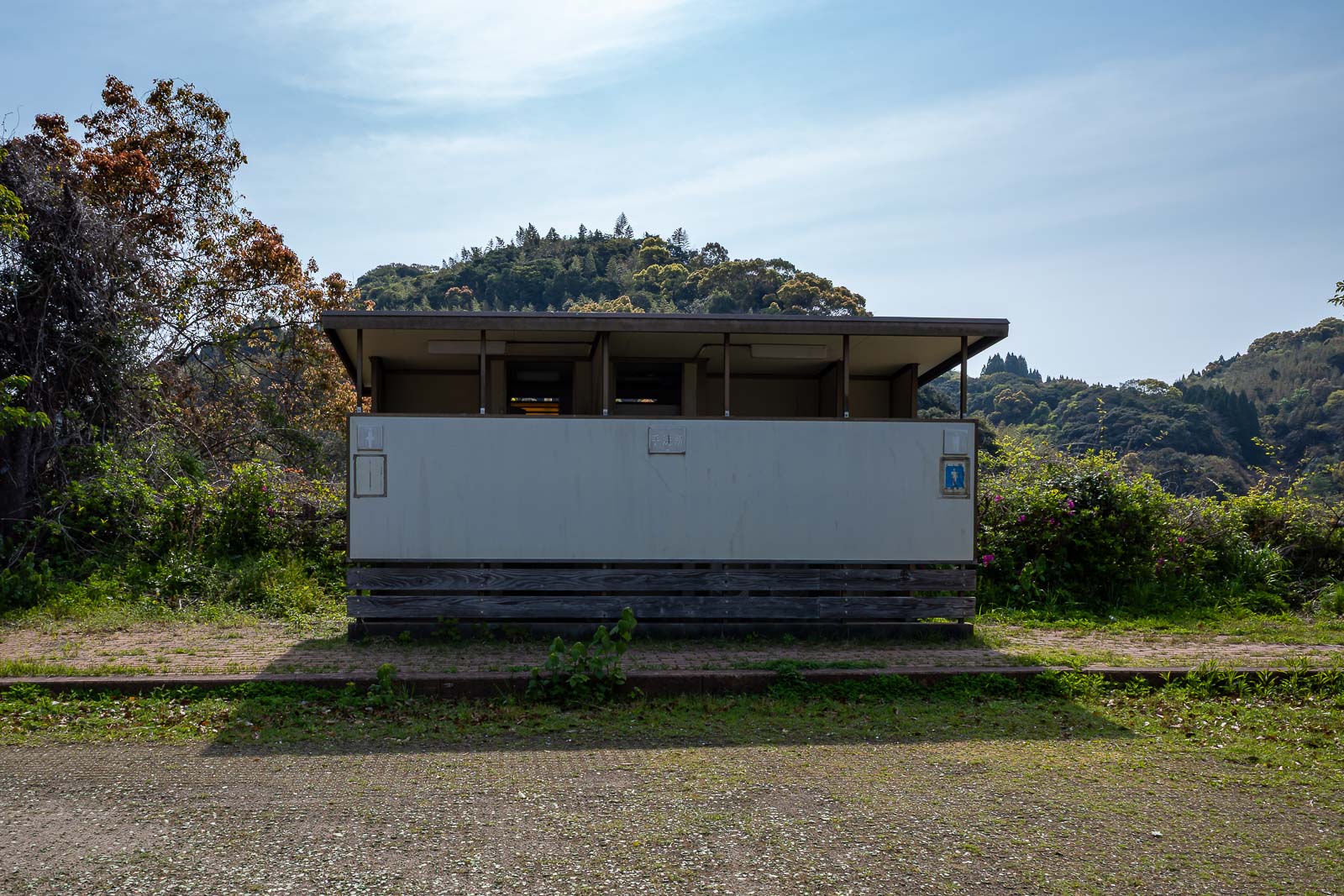
The dam has a public toilet, I think it is still functioning.
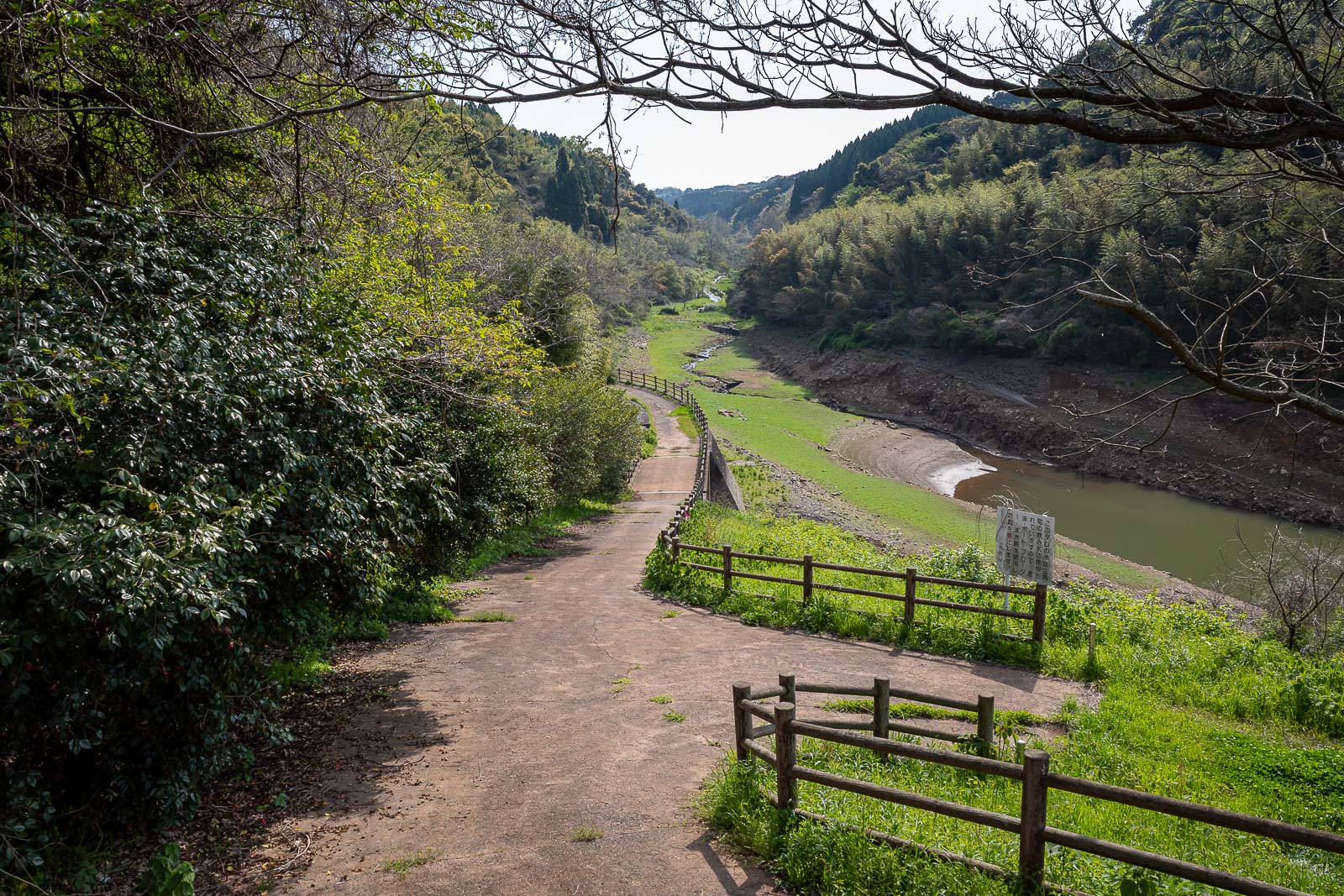
You can walk along there if you wish, it does not go far.
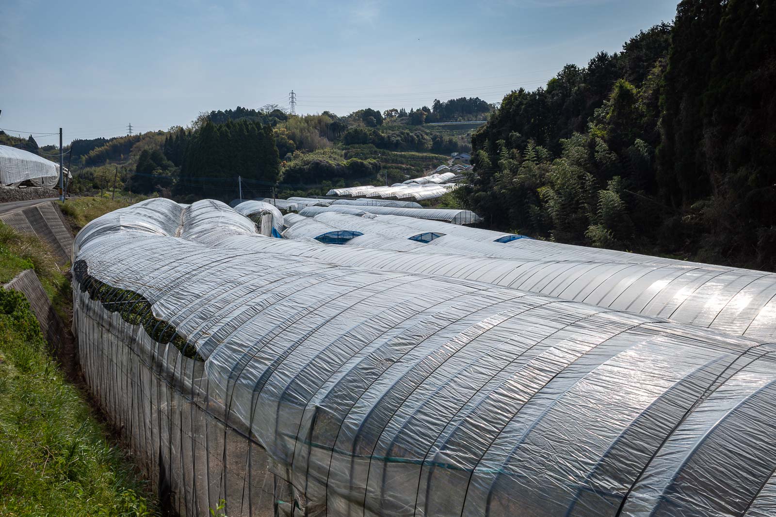
There was an area of plastic lined crops under yet more plastic near the dam. They change all the plastic once a week and put it in a big pile and burn it.
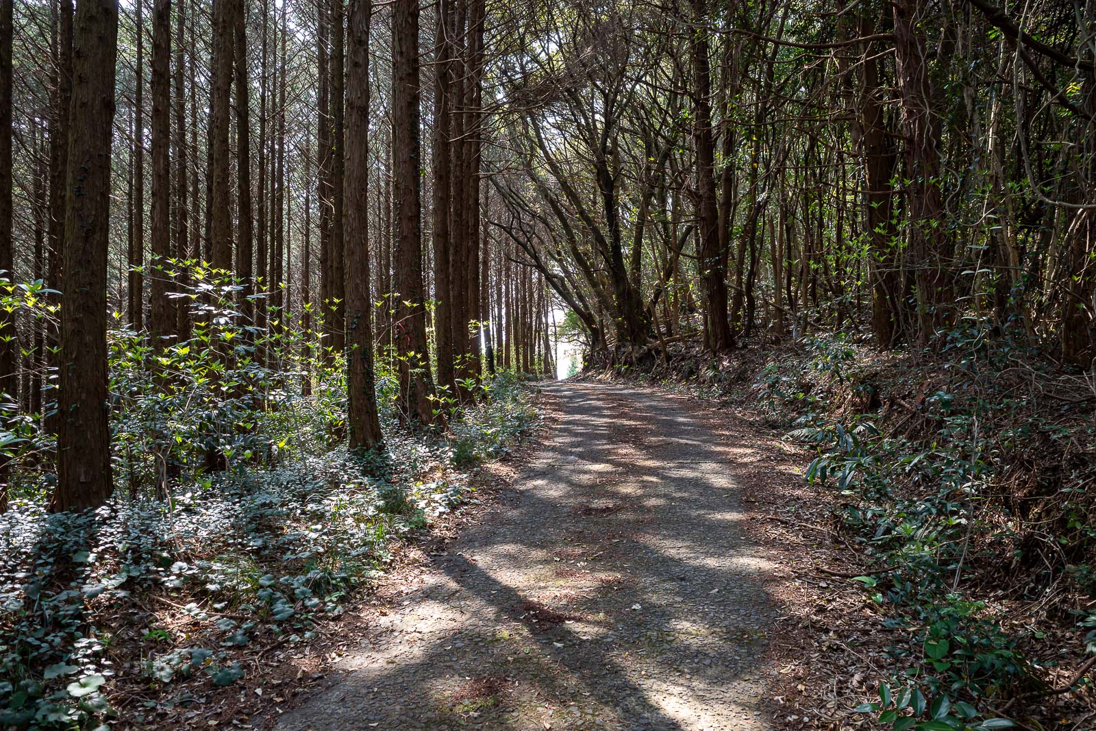
This is a semi abandoned road. I will point out at this point that I saw 2 cars all day, 0 hikers, but I did hear some logging activity.
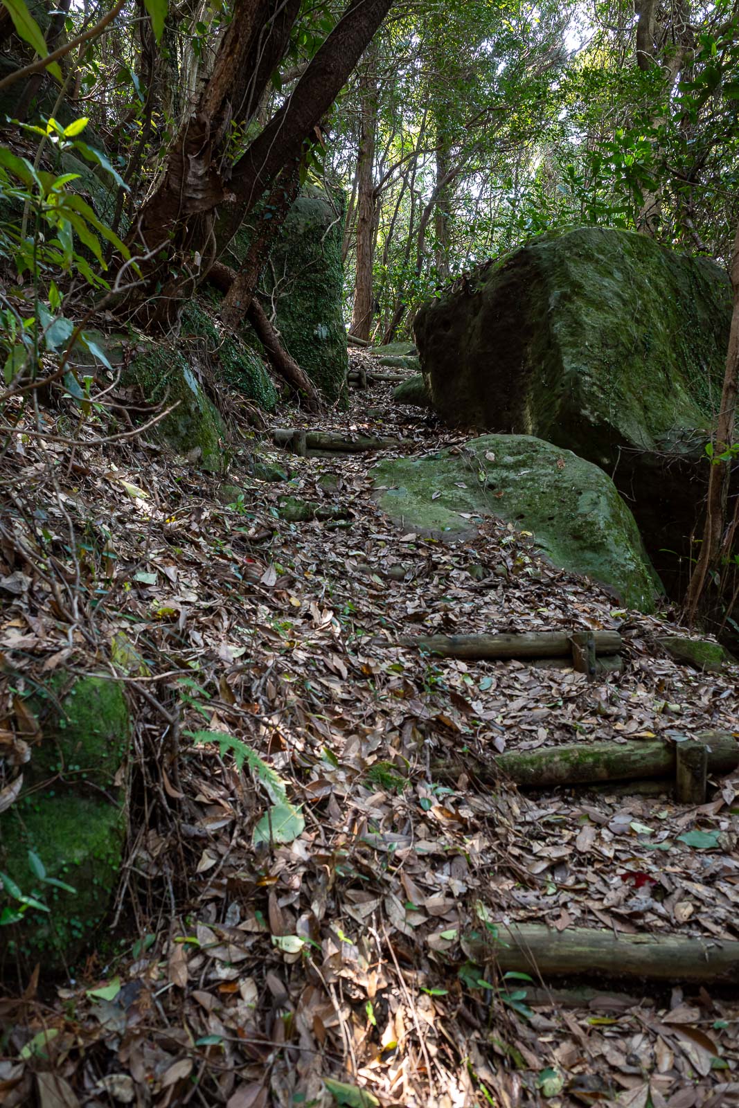
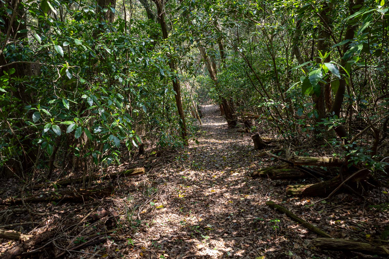
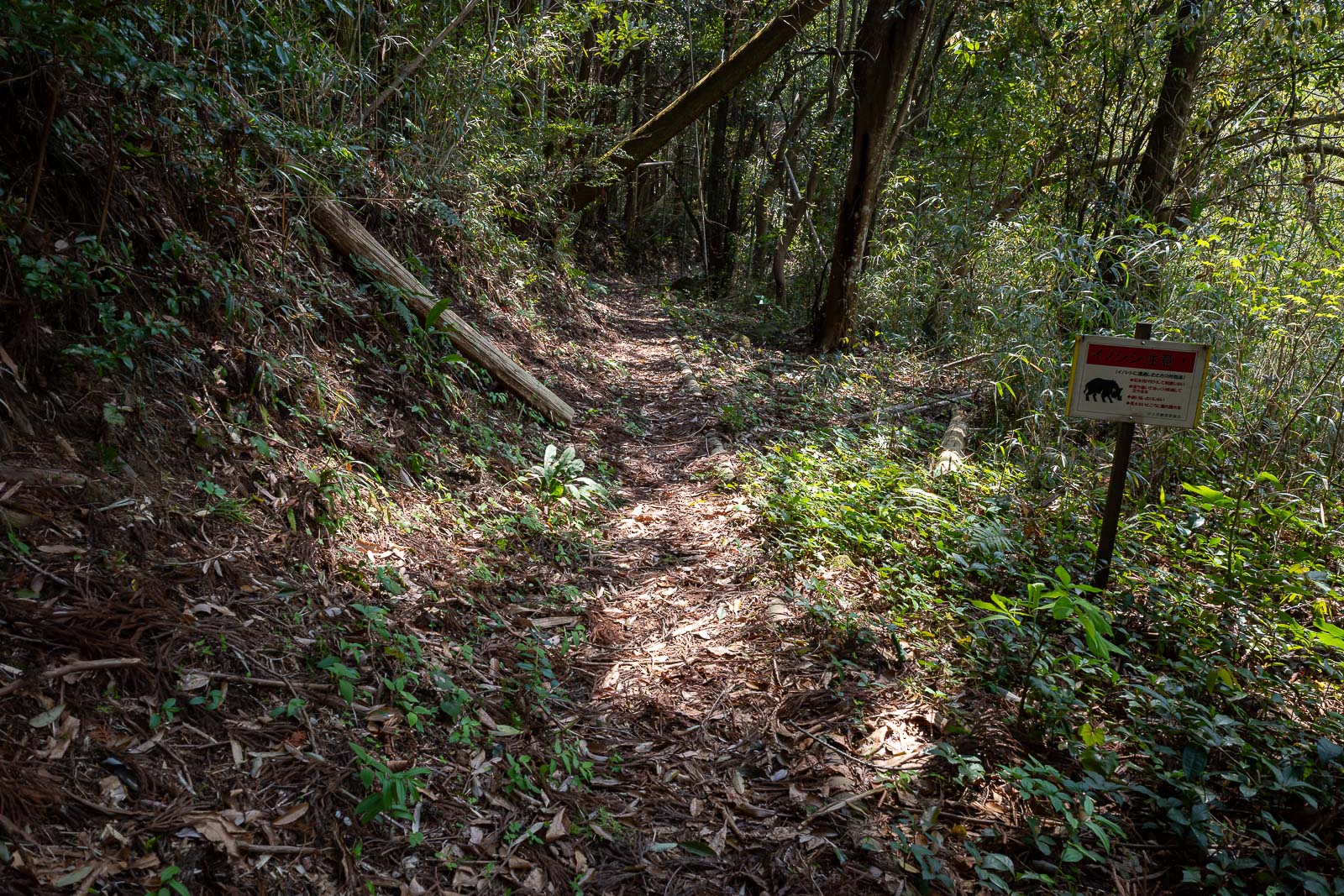
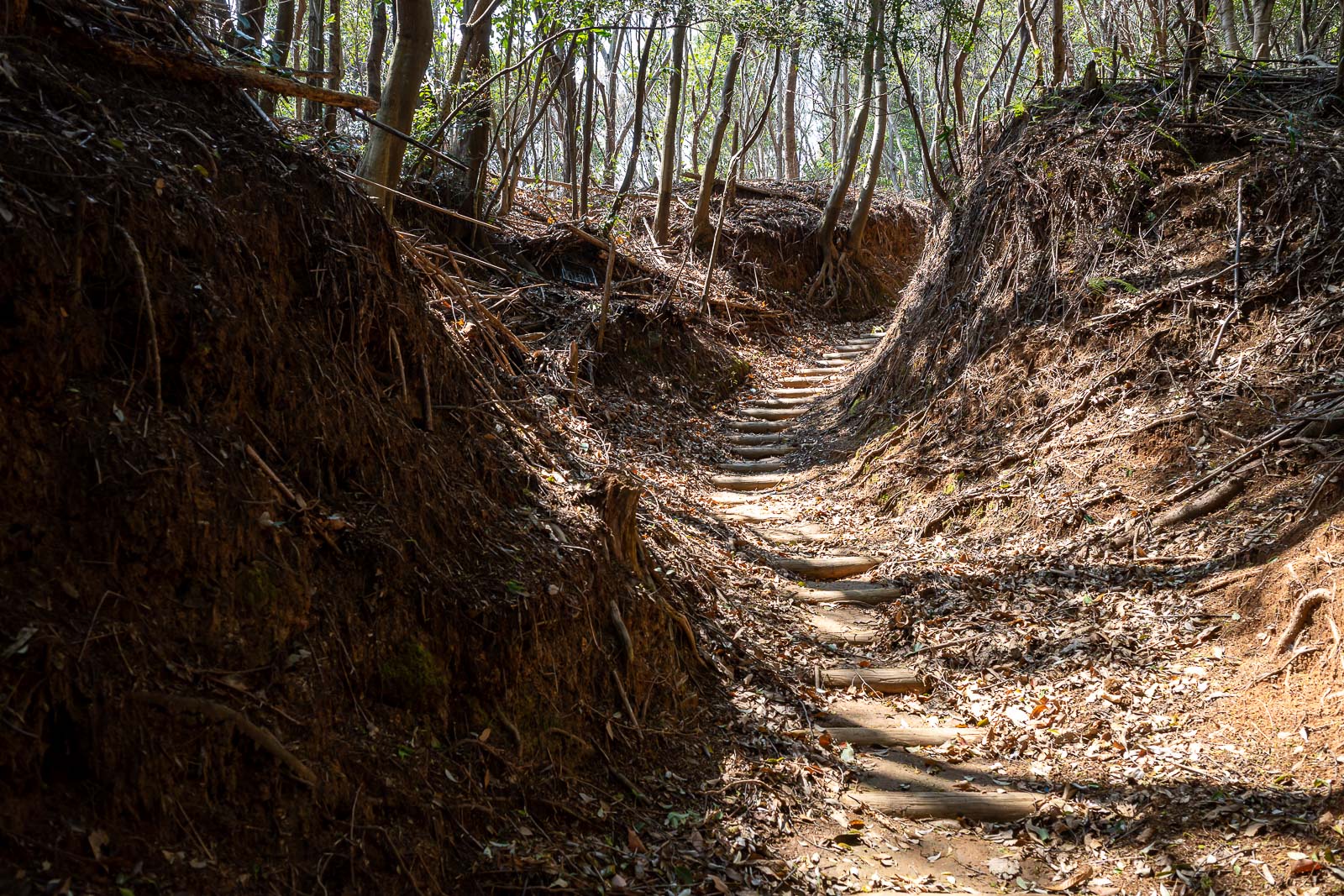
First of the trail sections.
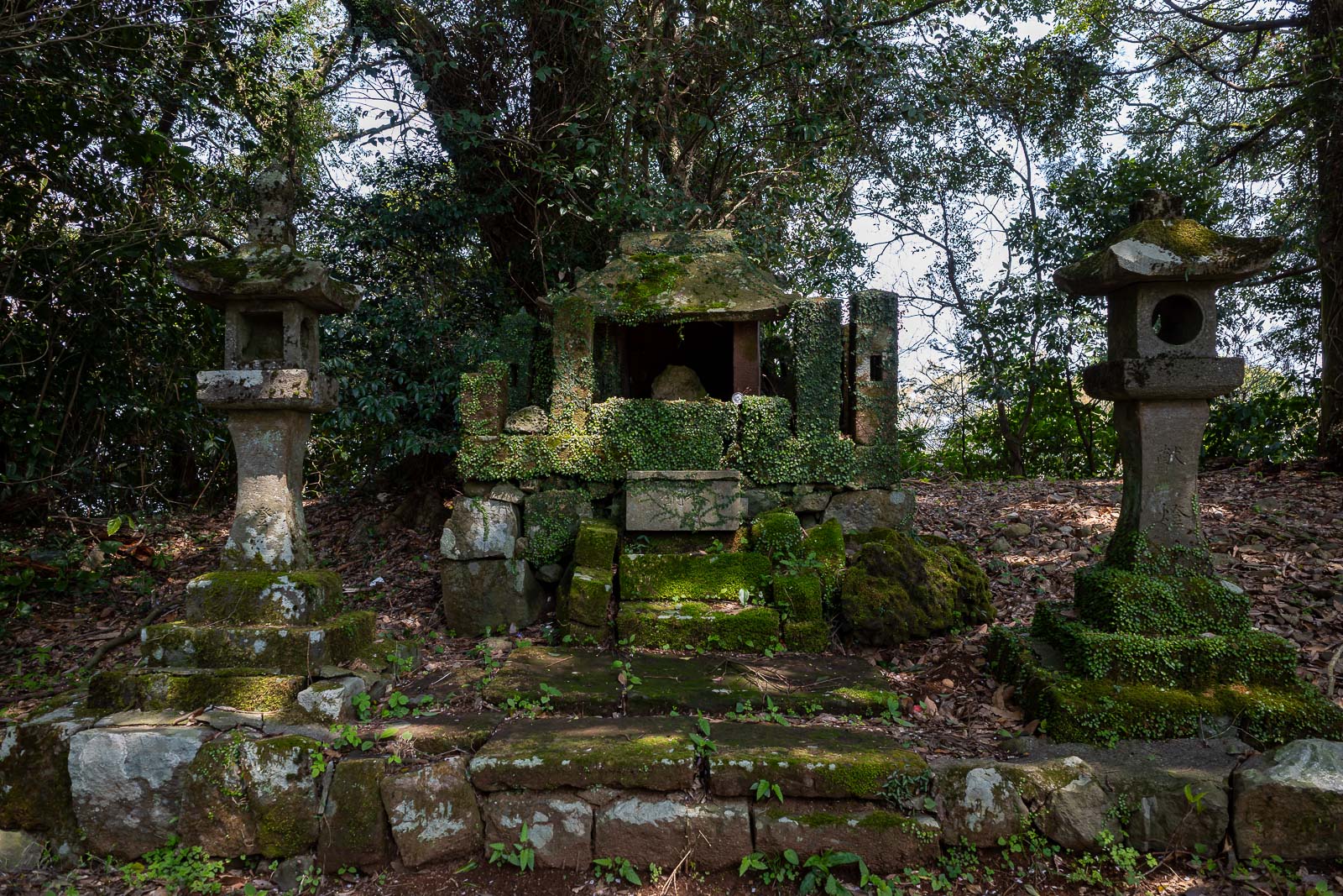
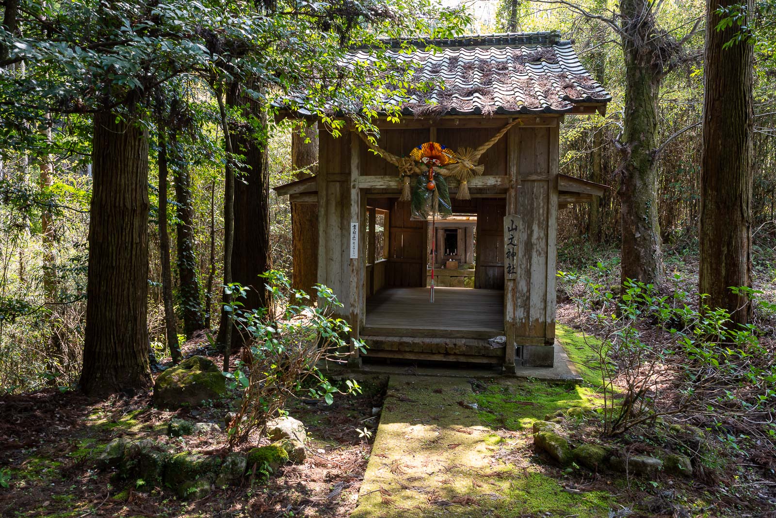
I think this is the shrine on the top of Odake, there is no view from here.
The trail up to the top of Odake was actually steeper than I thought, my hydration requirements were on my mind.
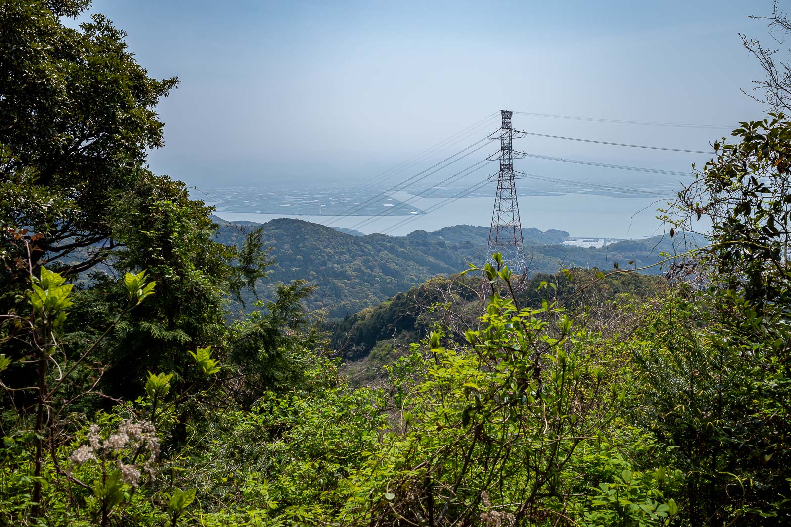
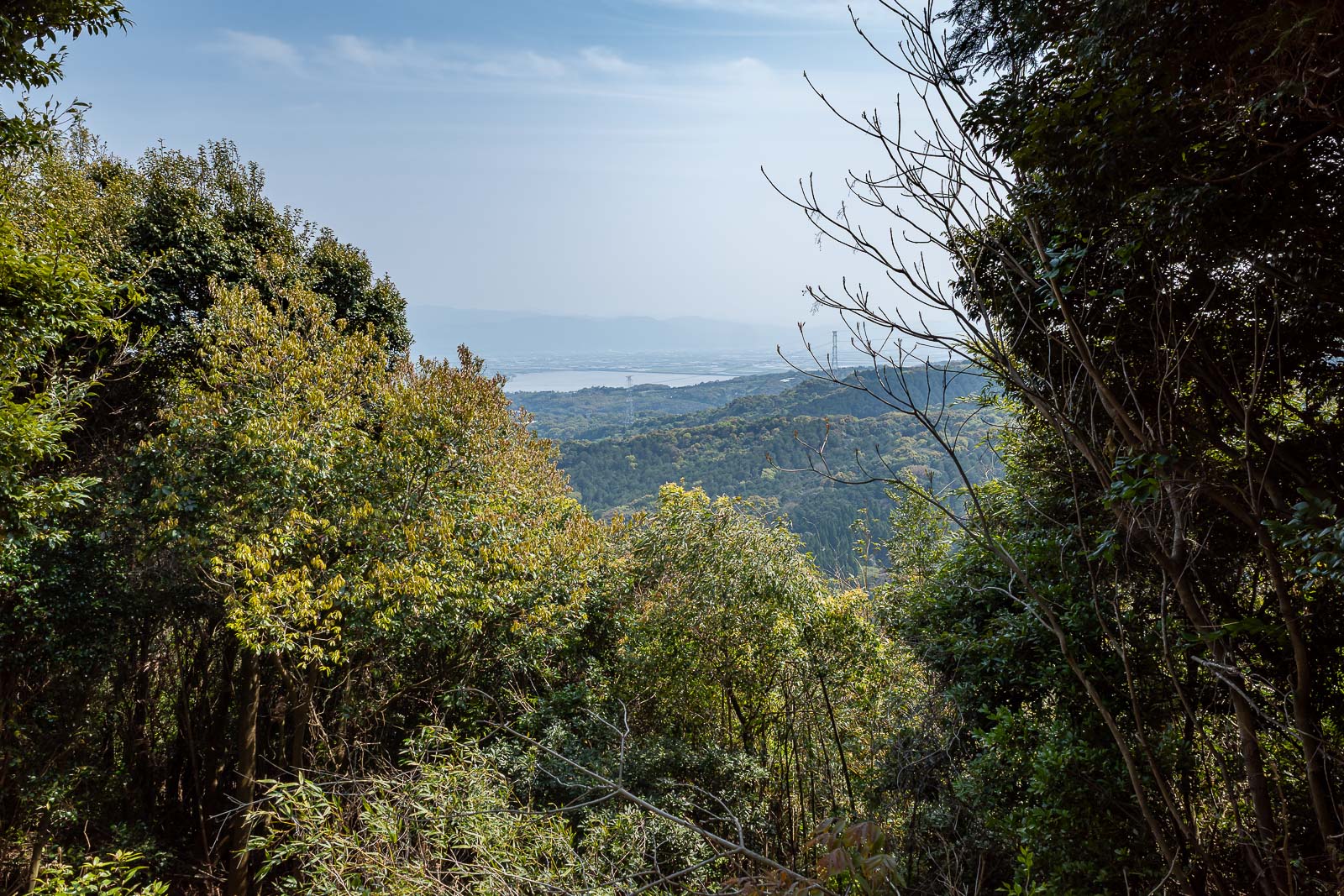
A very smoky view, of power lines.
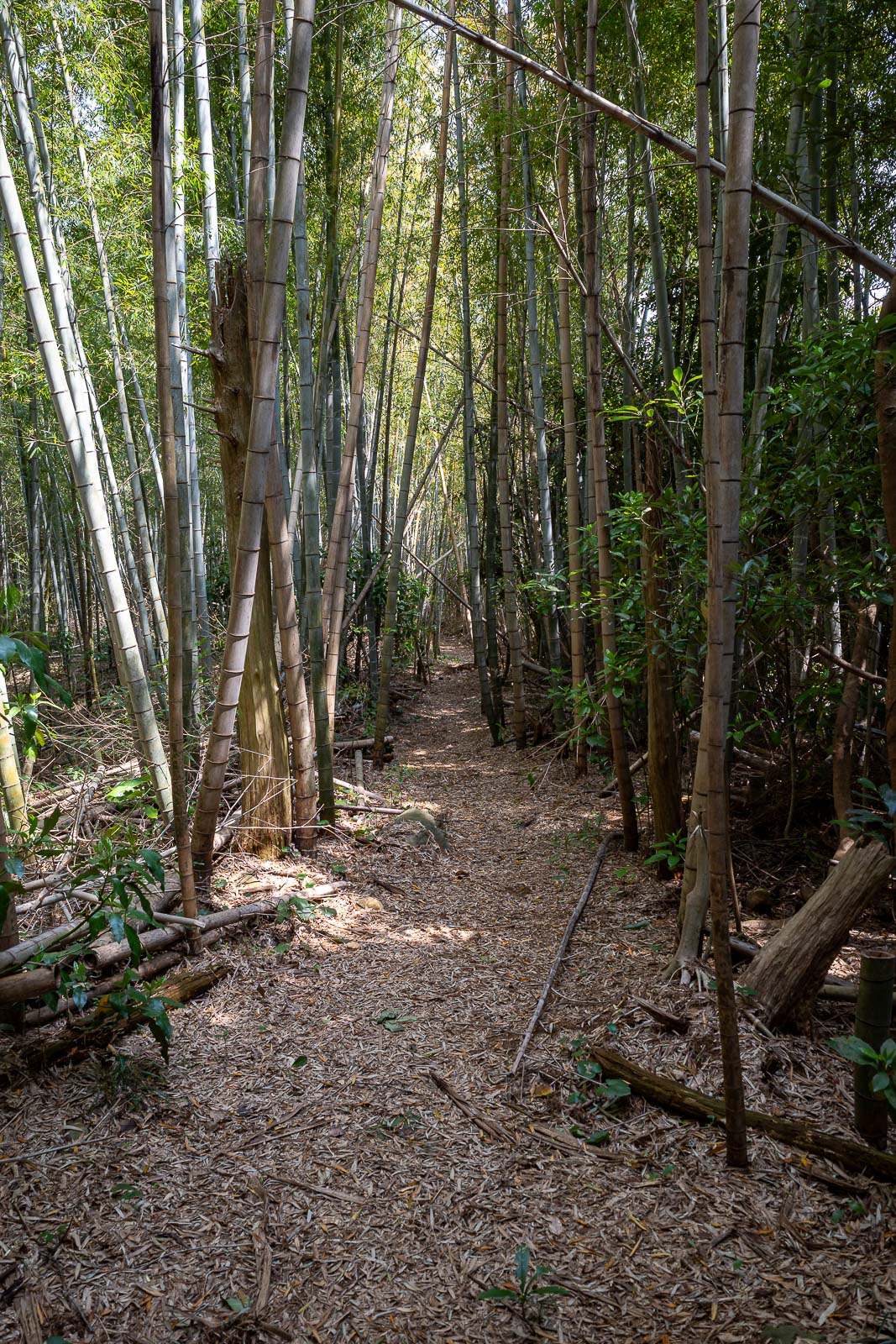
Sections of the trail were bamboo forest. It was a little windy but nothing like yesterday in Kagoshima, the sound of the bamboo smacking into each other can be disconcerting.
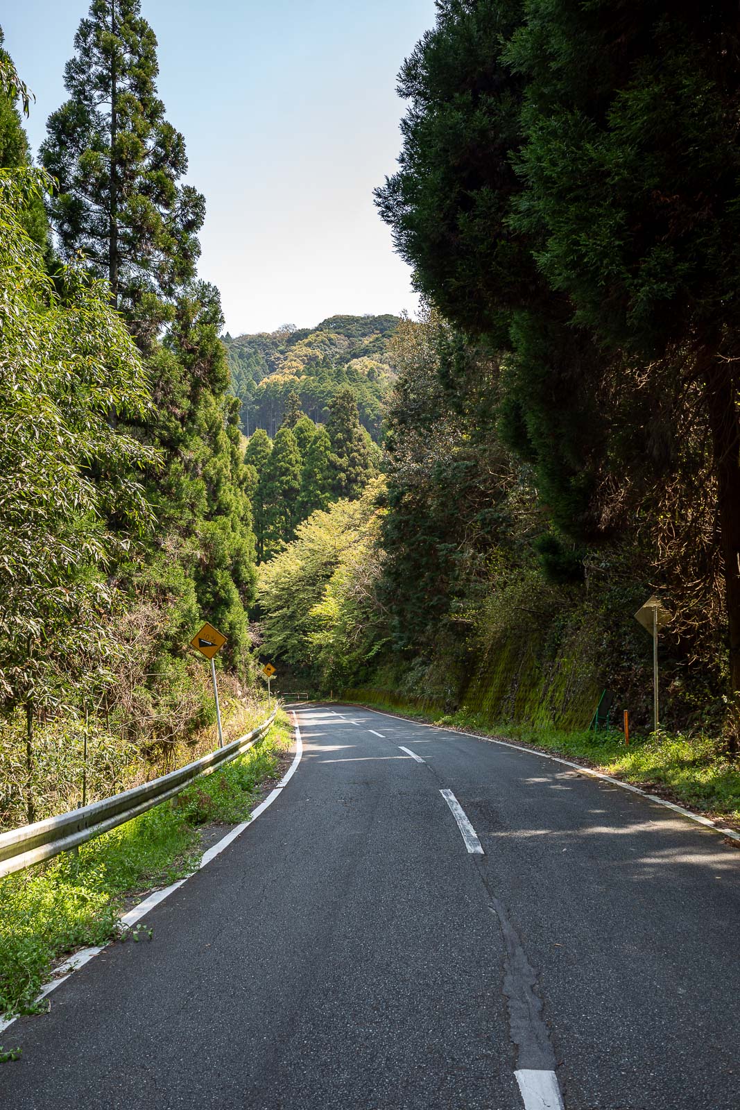
This is the section of real road that runs through the middle of the peninsula. This is where a couple of cars came, maybe once every 20 minutes.
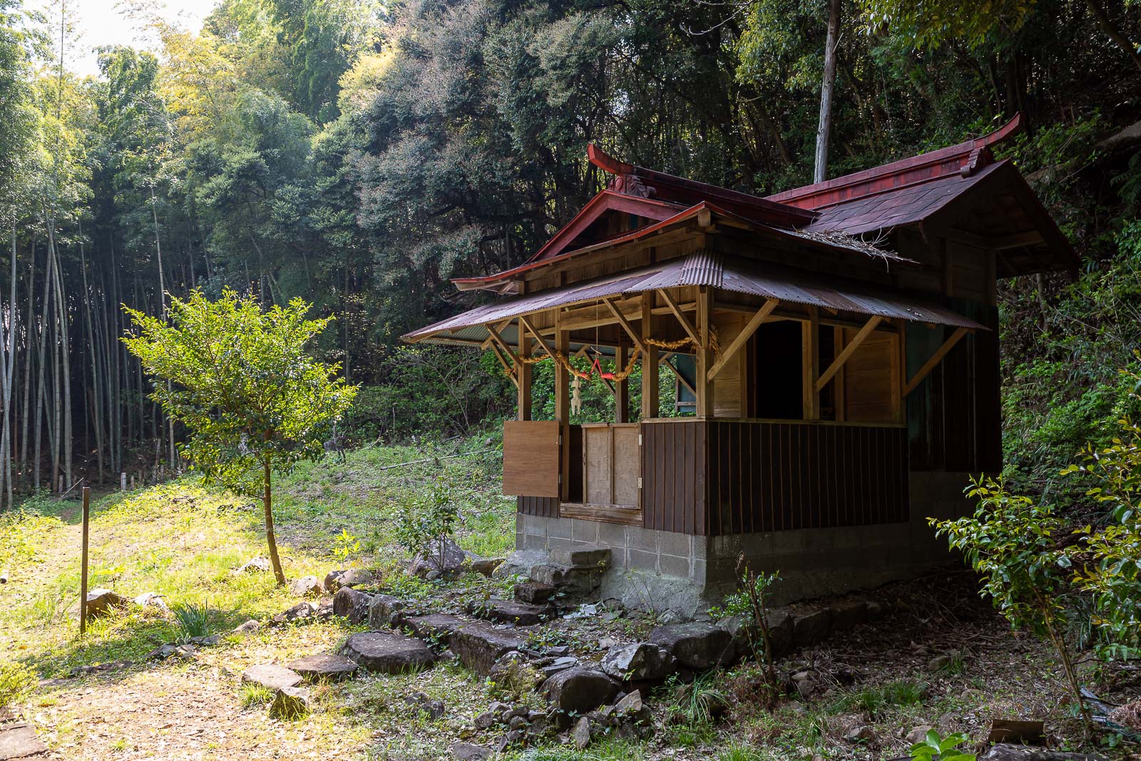
Middle of nowhere mini shrine.
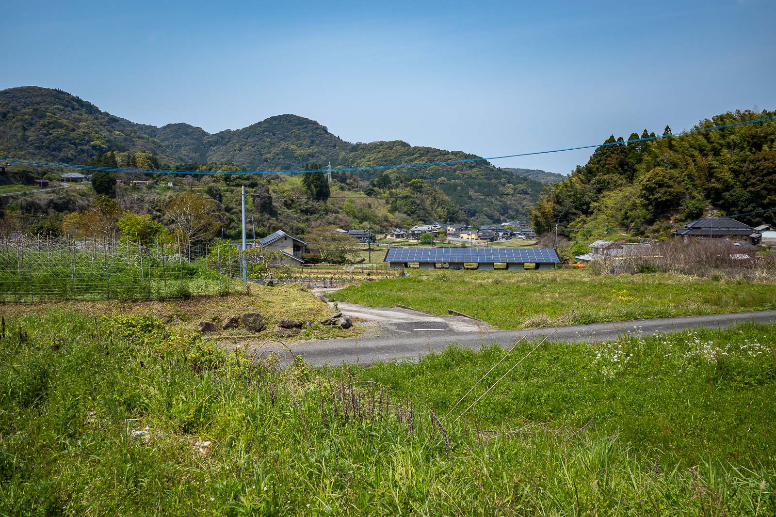
Here is a farming village in the middle of the peninsula, and they had a vending machine for me to re-hydrate. I saw no people, but probably had lots of sets of eyes on me from old ladies hiding in the fields. Also, nice solar cells.
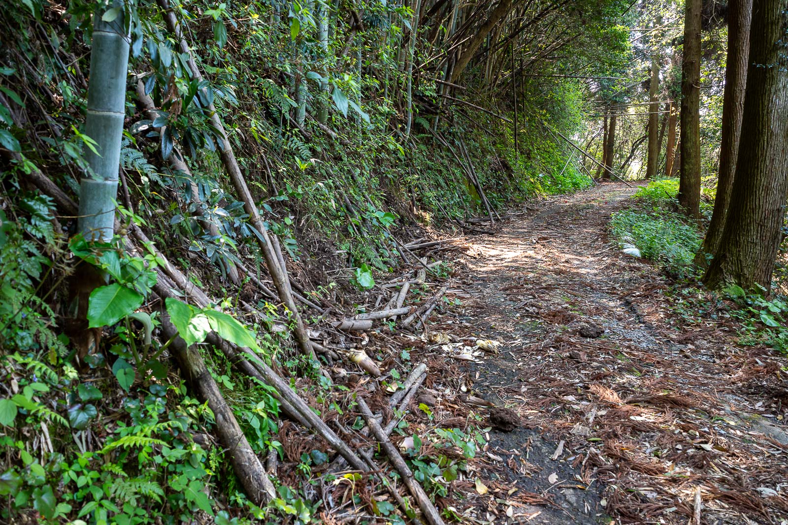
Next was an abandoned section of road, fast low calorie burning progress.
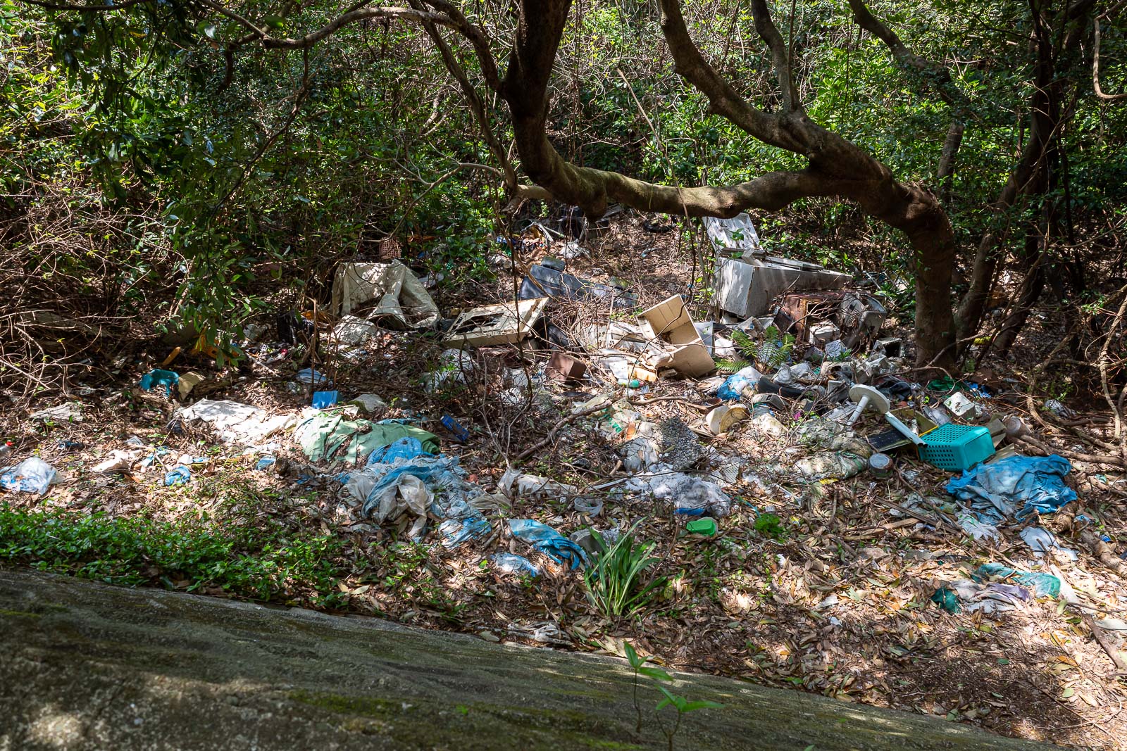
It looks like people sometimes use this section of road, to illegally dump garbage.
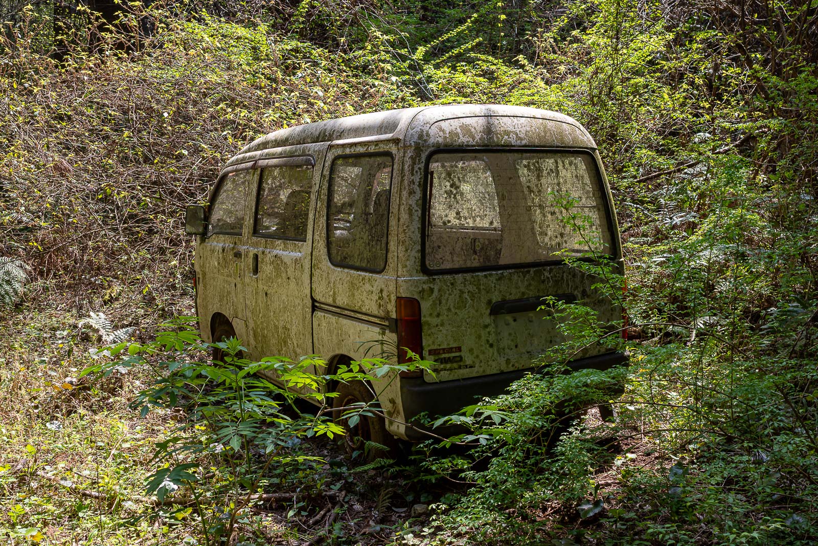
Also a good spot to abandon a car.
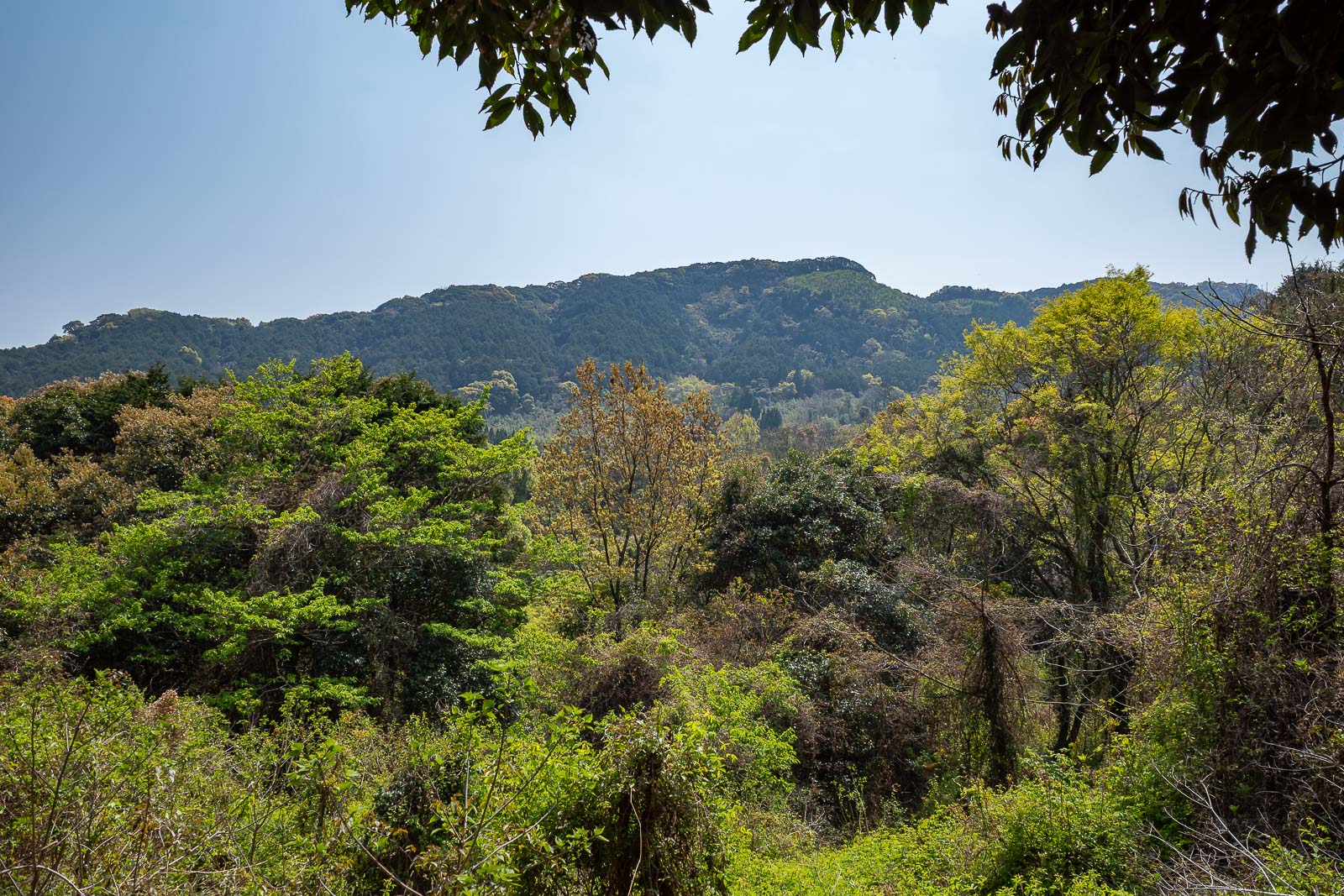
My next goal (I think), weird light again due to smoke.
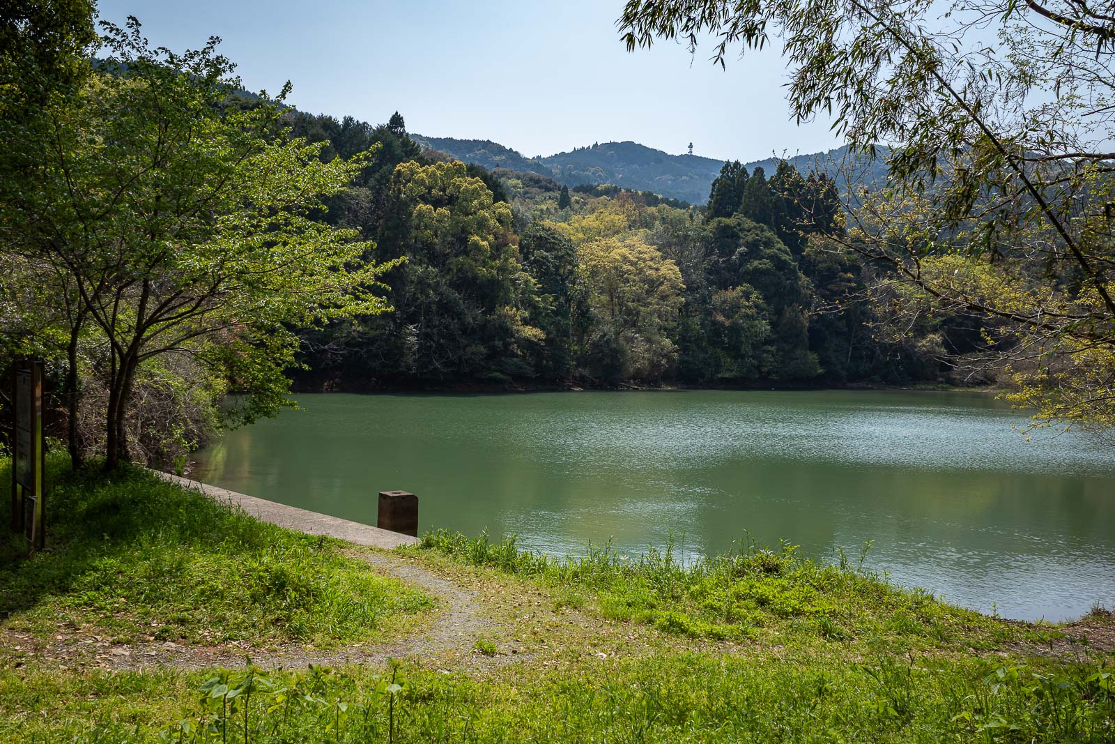
Some time later, another dam.
The next and I believe more popular section of trail starts here.
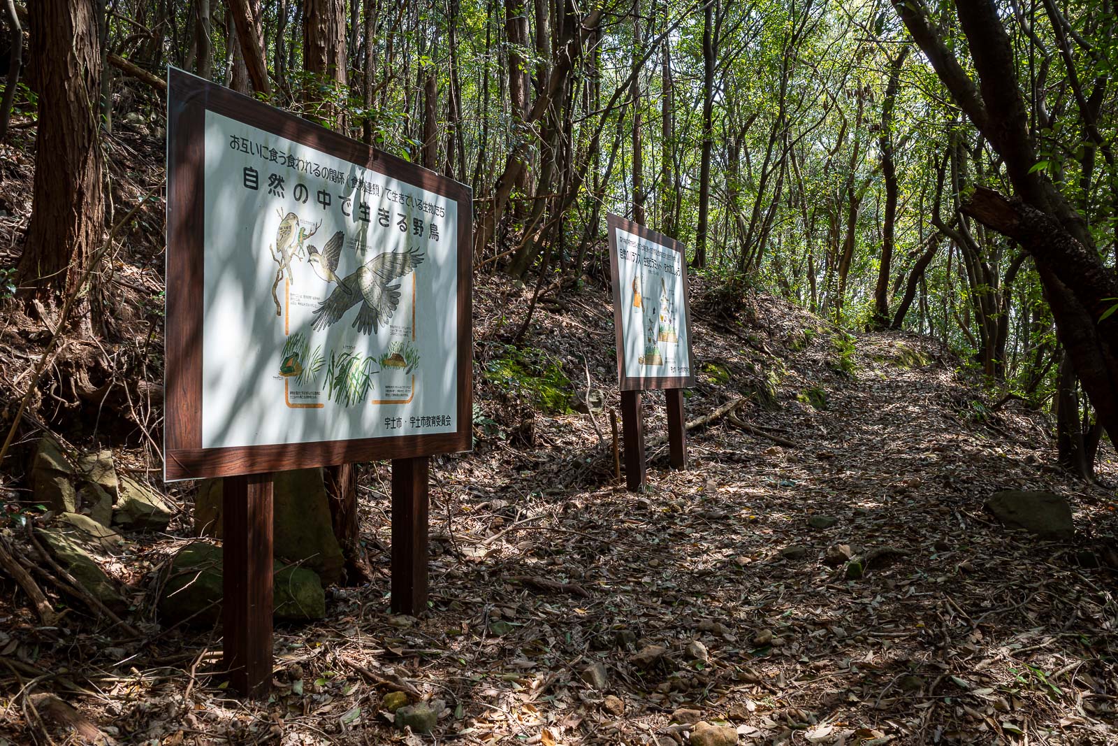
This section of trail was filled with signs explaining the local bird life, but I did not see any other hikers today.
Shrine near the top.
The last bit was quite developed.
At the top of Yudake there is some abandoned roped off picnic furniture.
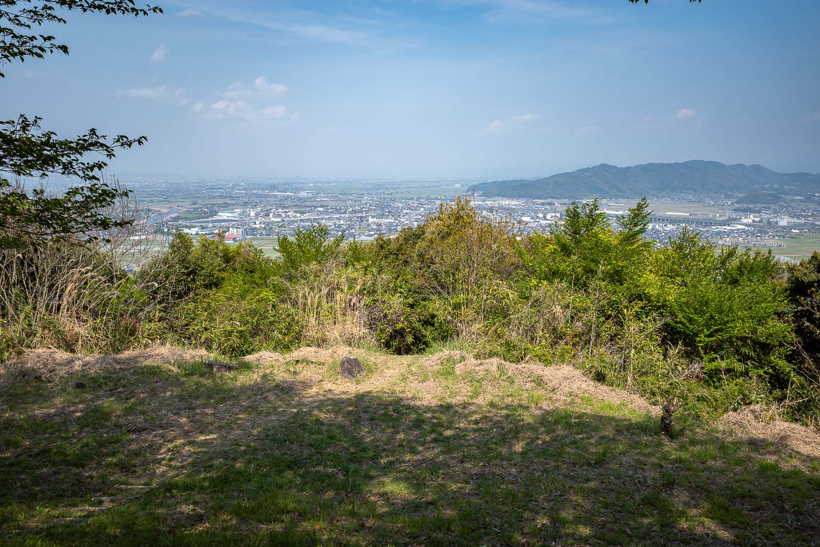
And also a view! Uto is down there.
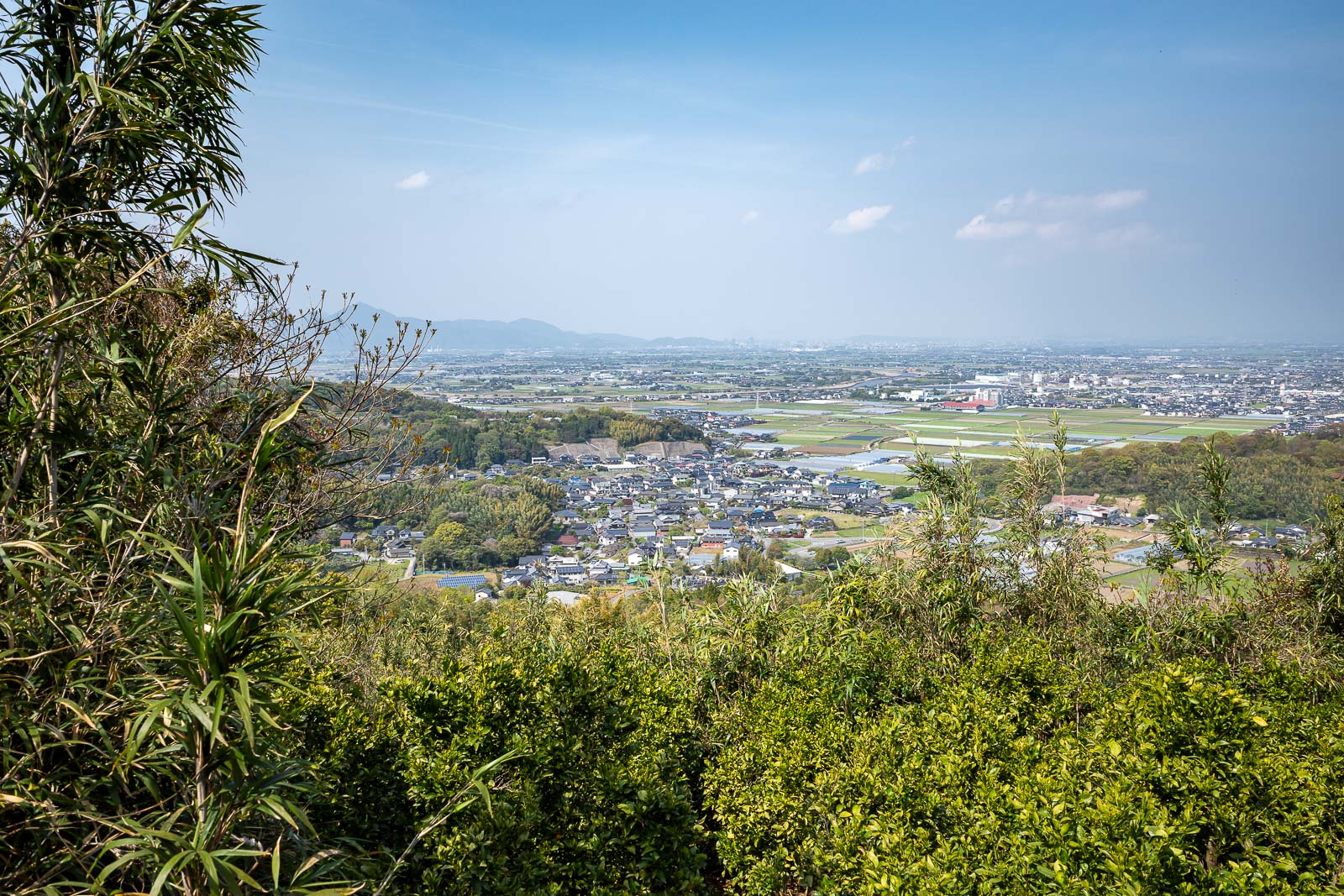
A little bit of the other direction.
I descended down into this village. Uto station is near the right edge of this photo, so it is still a decent walk from here.
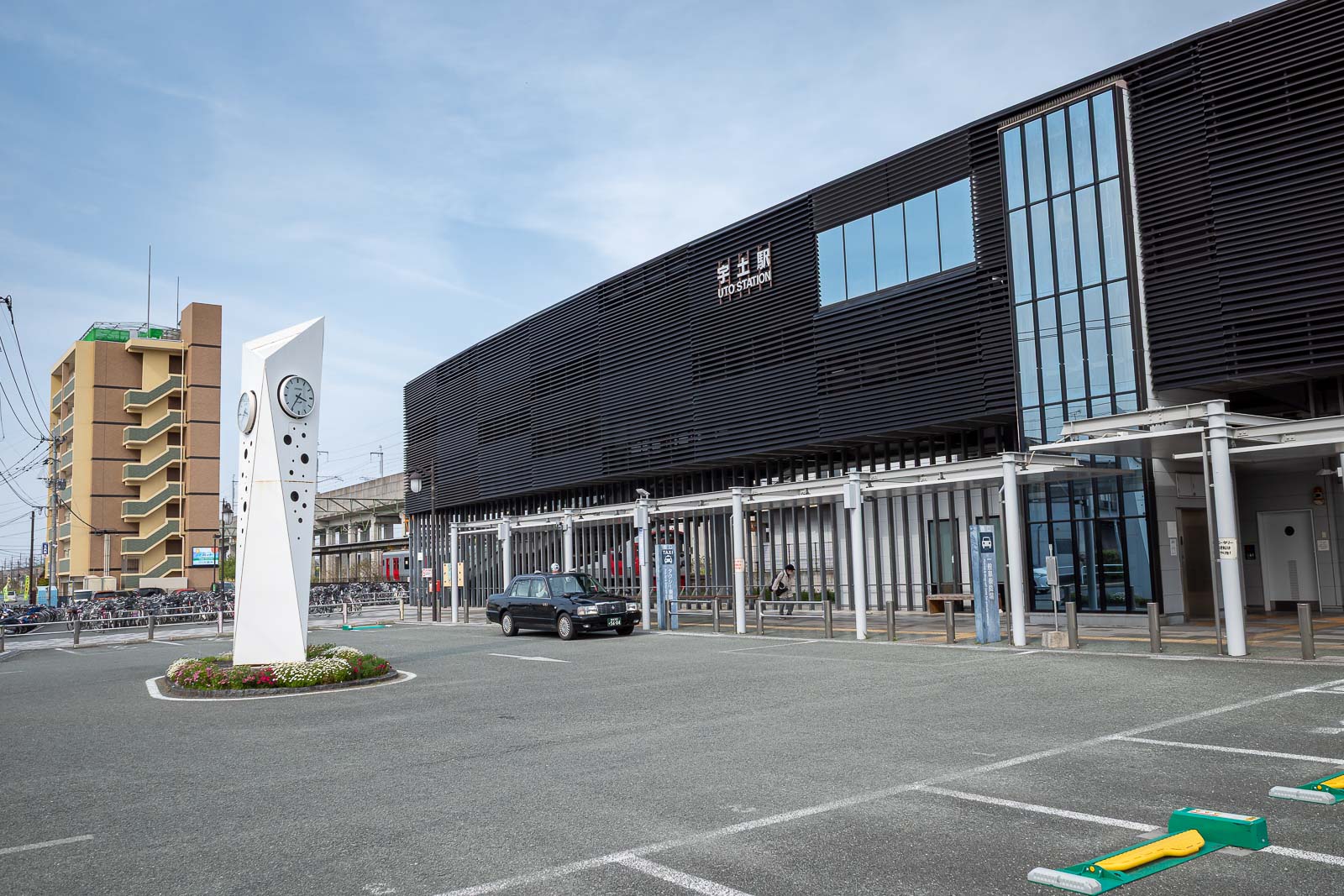
And finally after many hours, I arrived back at the gloomy looking Uto station, it is some distance away from the centre of Uto. The bullet train runs through here but does not stop here.
Traverse completed. Today's word of the day, traverse.